
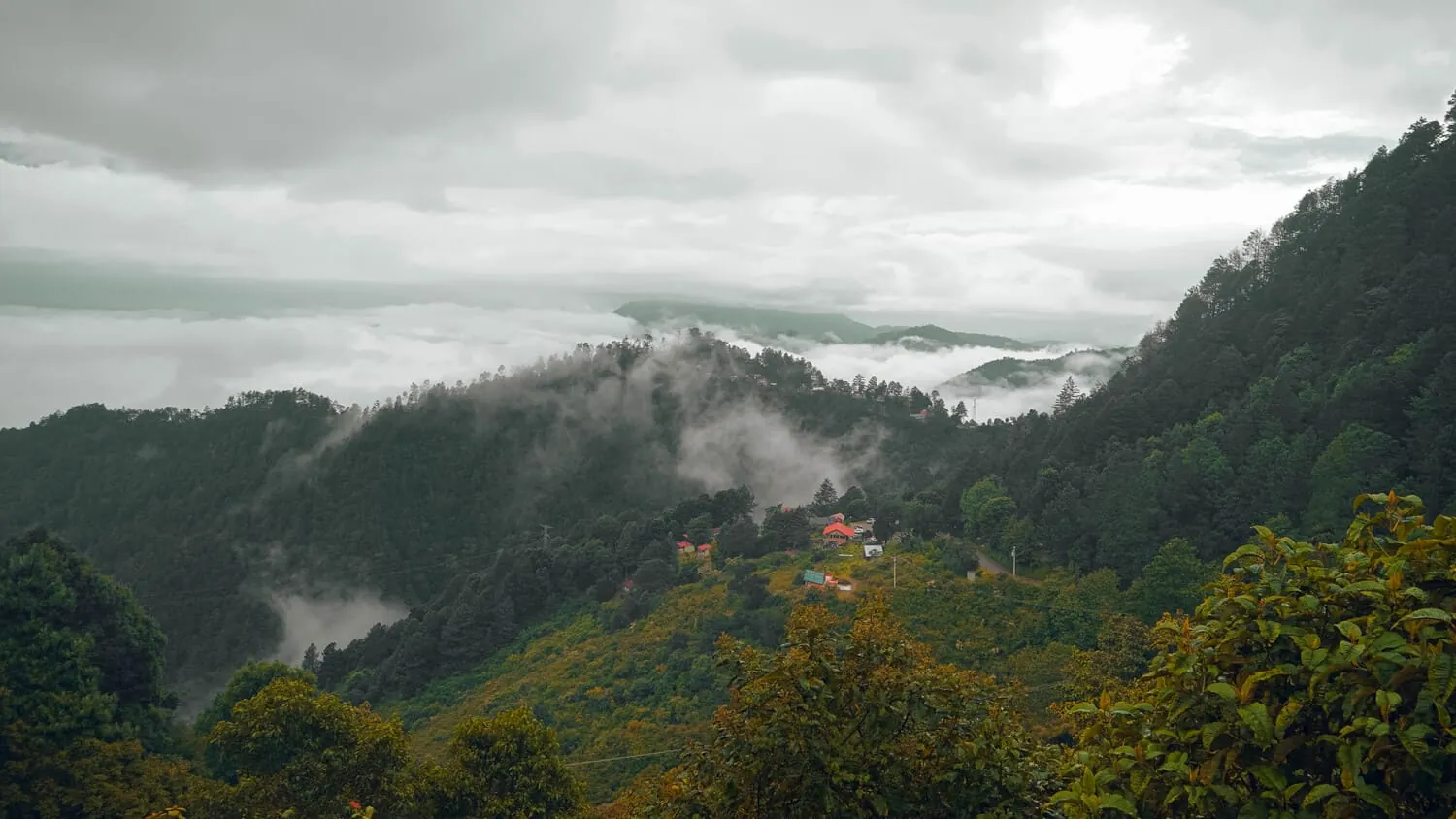
Barranca Larga–Ventanilla highway
Oaxaca City to the Pacific Coast
A practical reference to the Barranca Larga–Ventanilla toll highway (175D): opening date, length, toll plazas, travel-time impact, current maintenance context and the old Route 175 alternative.
The Barranca Larga–Ventanilla highway is the toll-road segment that transformed travel between Oaxaca City and the Pacific Coast. It opened on February 4, 2024. CAPUFE's reference data lists about 104.3 km (64.8 mi), 10 bridges, 3 viaducts, 3 tunnels, 15 interchanges and 2 toll plazas. It reduced the Oaxaca-to-coast trip from roughly 6–6.5 hours on the old mountain road to about 2.5–3 hours in normal conditions.
- Opened: February 4, 2024.
- Length: about 104.3 km / 64.8 mi for the toll-road segment.
- Toll plazas: Barranca Larga and Ventanilla.
- Recorded passenger-car toll as of July 30, 2026: MXN 490 total one way.
What exactly is this highway?
The highway is commonly referred to as Barranca Larga–Ventanilla and as part of Route 175D. It links the Oaxaca side of the Sierra Sur with Federal Highway 200 near the coast. It is a two-lane divided-by-direction mountain toll road rather than a four-lane urban freeway. CAPUFE operates the toll infrastructure.
Key highway facts
| Item | Reference |
|---|---|
| Opening date | February 4, 2024 |
| Toll-road length | 104.3 km / 64.8 mi |
| Bridges | 10 |
| Viaducts | 3 according to CAPUFE reference data |
| Tunnels | 3 |
| Interchanges | 15 according to CAPUFE reference data |
| Toll plazas | 2 |
| Typical Oaxaca City–Puerto Escondido road time | About 2.5–3 hours in normal conditions |
Why it changed Oaxaca Coast travel
Before the toll highway opened, the traditional Oaxaca City–coast route crossed the Sierra Sur on Federal Route 175 and commonly required 5–7 hours. The new alignment removes much of the continuous mountain turning and shortens the road trip by several hours, which changed bus schedules, private-transfer times and self-drive itineraries.
A long project before opening
The corridor was proposed and concessioned years before it finally opened in 2024. Construction was delayed by financing, concession changes, engineering complexity and social conflicts. For travelers, the useful takeaway is not the political history but why the road is still relatively new and why stabilization and maintenance work can continue after opening.
Maintenance and slope work
The route cuts through difficult mountain terrain and has required ongoing slope-stabilization and maintenance. The Spanish source page recorded intermittent one-lane operation between roughly km 36 and km 56 on July 29, 2026. That should be treated as dated context rather than a live status report. Check the dedicated road-status page before travel.
Tolls
The source page recorded MXN 245 at each of the two passenger-car toll plazas, MXN 490 total one way, effective April 13, 2026. Toll prices can change. The dedicated toll page keeps the dated tariff context separate from this evergreen highway reference.
What is the free alternative?
Federal Route 175 remains the main toll-free alternative through Miahuatlán, San José del Pacífico, Pochutla and Puerto Ángel. It is scenic but far slower, much curvier and more weather-sensitive. In closure scenarios it can also serve as the practical alternate route to the coast.
What to check before driving
- Current road-status information and any one-lane work zones.
- Current CAPUFE toll rates.
- Rain and storm conditions during the wet season.
- Fuel level and offline navigation before entering mountain sections.
- Whether your itinerary would force you to drive after dark.
Barranca Larga–Ventanilla questions
When did the highway open?
February 4, 2024.
How long is the toll-road section?
CAPUFE reference data lists about 104.3 km, or 64.8 miles.
How long does Oaxaca City to Puerto Escondido take now?
Usually about 2.5–3 hours by road in normal conditions, compared with roughly 5–7 hours on the older Route 175 mountain corridor.
How much is the toll?
The source page recorded MXN 490 total for a passenger car as of July 30, 2026. Check the current toll page or CAPUFE before travel.
Is the highway completely maintenance-free now?
No. A relatively new mountain highway can still have stabilization and maintenance work. Use the road-status page for dated conditions.
What is the alternative if it closes?
Federal Route 175 through the Sierra Sur is the main free alternative, but it is substantially longer and curvier.